UBC Library’s Visualizing the World: A Maps and Geographic Information Systems Speaker Series continues with a talk on January 23, 2018 at 12 p.m in the Lillooet Room at the Irving K. Barber Learning Centre features a talk by PhD candidiate in Geography at UBC, Emily Acheson.
How do you map diseases? A look into the world of GIScience and medical geography with Emily Acheson.
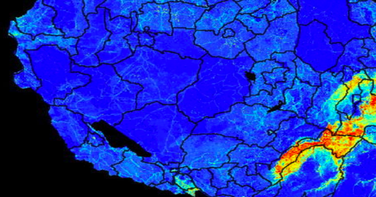
Acheson will introduce medical geography and its ties with GIScience through two areas of her research: malaria and its relationship with mosquito bed net distributions in Tanzania, as well as a killer fungus growing on Vancouver Island and its potential relationships with climate and land use changes. Learn how medical geographers track mosquitoes and fungi using Geographic Information Systems and remote sensing and how disease mapping contributes to informing health professionals.
About Emily:
Emily Acheson is working on her PhD in Geography at the University of British Columbia where she is modelling Cryptococcus gattii, a medically-relevant fungus. For her Master’s degree at the University of Ottawa, she studied mosquitoes and tsetse flies that carry the parasites causing malaria and sleeping sickness, respectively. Her research uses Geographic Information Systems methods to approach disease vector or pathogen distributions from a macroecological perspective.